What if your morning reset, your kid’s after‑school adventure, and your weekend plans were all just a short walk from your front door? In Sudbury, that happens a lot. With conservation lands stitched across town, you get easy ways to move, breathe, and connect throughout the week. In this guide, you will see how the trail network shapes daily life, what to expect by season, and what to look for if you are buying a home near the greenways. Let’s dive in.
Sudbury’s trail network at a glance
Sudbury spans 24.7 square miles with a population near 18,000, according to the town’s community profile. That low‑density pattern helps explain why so much open space remains. The Town maintains an extensive inventory of preserves with property maps, trailheads, and rules on the Town of Sudbury Conservation Lands list. You will find places like Barton Farm, Davis Farm, Hop Brook Marsh, and connections that crisscross neighborhoods and fields.
Regional partners add depth to the system. The Great Meadows National Wildlife Refuge has a Sudbury unit with trails, boardwalks, and a non‑motorized boat launch on the Sudbury River. You can review current guidelines on the Great Meadows National Wildlife Refuge visitor page before you go. Nonprofits like Sudbury Valley Trustees (SVT) publish maps and suggested walks across their nearby holdings; the SVT trail maps are a great planning companion.
Big projects are also in motion. The Bruce Freeman Rail Trail (BFRT) is in active design in Sudbury and will boost cross‑town walking and biking once built. For status and route planning, see the town’s Bruce Freeman Rail Trail update.
How trails fit your weekdays
Quick loops near home
Many residents use short trail loops for a pre‑work reset, dog walks where permitted, or a post‑dinner stroll. At Davis Farm, wide farm roads and connector paths make it easy to create 20‑ to 40‑minute loops. The Davis Farm Conservation Land page lists parking and common uses so you can plan a simple routine without guesswork.
Hop Brook Marsh offers open views and flat terrain that work well for a brisk midday walk. Check the Hop Brook Marsh page for maps, trailheads, and seasonal notes before heading out.
Active errands and school runs
As links to the BFRT and other corridors come online, it becomes easier to swap a short drive for a bike ride or walk. The town’s BFRT design work aims to connect conserved parcels and neighboring towns, which can change how you handle after‑school travel and weekend meetups. For the latest crossings and segments under design, use the Bruce Freeman Rail Trail update.
Youth programs and learning
Trails support learning outside the classroom. Federal refuges and land trusts host public programs and school‑oriented outings throughout the year. Great Meadows offers interpretive activities and wildlife‑focused visits, and SVT runs seasonal nature walks and education programs listed on its calendar. These options give parents and teachers ready‑made field experiences that fold into the school year rhythm.
Weekends and seasonal fun
Winter: sleds and skis
When the snow falls, many families turn to local hills and meadows. The Davis Farm page notes a sledding and toboggan area, which makes for an easy weekend staple close to home. Wider fields and marsh edges across town often see cross‑country skiing and snowshoeing. Hop Brook Marsh is a common choice due to its open routes and gentle grades. Always confirm conditions and parking on each property page before you go.
Spring and fall: hiking and birding
Spring brings migrating birds and fast‑changing scenery along marsh boardwalks and meadow edges. Short hikes at town parcels and SVT preserves can fit between sports games or errands. Birding is a favorite at Great Meadows, where trails are designed for wildlife viewing. Federal land may have stricter rules than town land, so check the Great Meadows National Wildlife Refuge visitor page for current access and guidelines.
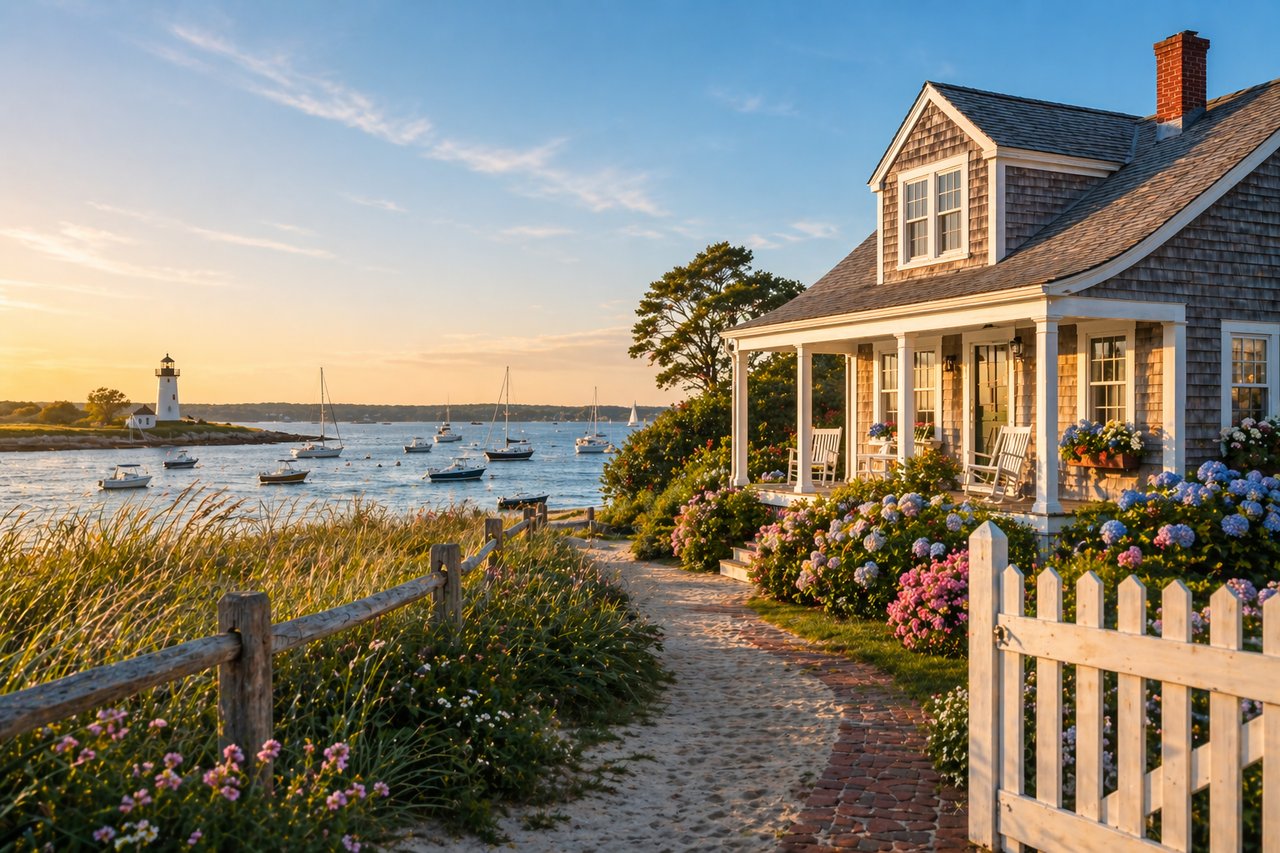
Summer: paddles and easy loops
On warm weekends, the Sudbury unit of Great Meadows offers a non‑motorized boat launch for canoes and kayaks on the Sudbury River. Families often pair a short paddle with a picnic or a shaded nature walk. Around town, gentle meadow loops and farm roads work well for early morning or after‑dinner walks when temperatures cool.
Health and community benefits you can feel
Easy access to parks, trails, and greenways is linked with higher physical activity, better mental health, and stronger social connection. The CDC guidance on parks and health recommends pairing good infrastructure with programs so more people use them. In Sudbury, you get both: a deep bench of conservation lands and a steady calendar of volunteer days and nature outings that help turn occasional visits into healthy habits.
Rules, access, and what to expect
Different properties have different rules. Federal refuges like Great Meadows focus on wildlife‑dependent recreation on designated trails. Pets are prohibited on refuge trails, and some activities are limited to protect habitat. Town parcels may allow dogs on leash, and some have seasonal closures or small parking lots. Before you head out, check the owner’s page for each property for parking, permitted uses, and any temporary closures or construction.
For town lands, start with the Town of Sudbury Conservation Lands list. For federal refuge information, use the Great Meadows visitor page. For SVT sites, confirm rules and maps on the SVT trail maps.
What this means for homebuyers
Daily living, simplified
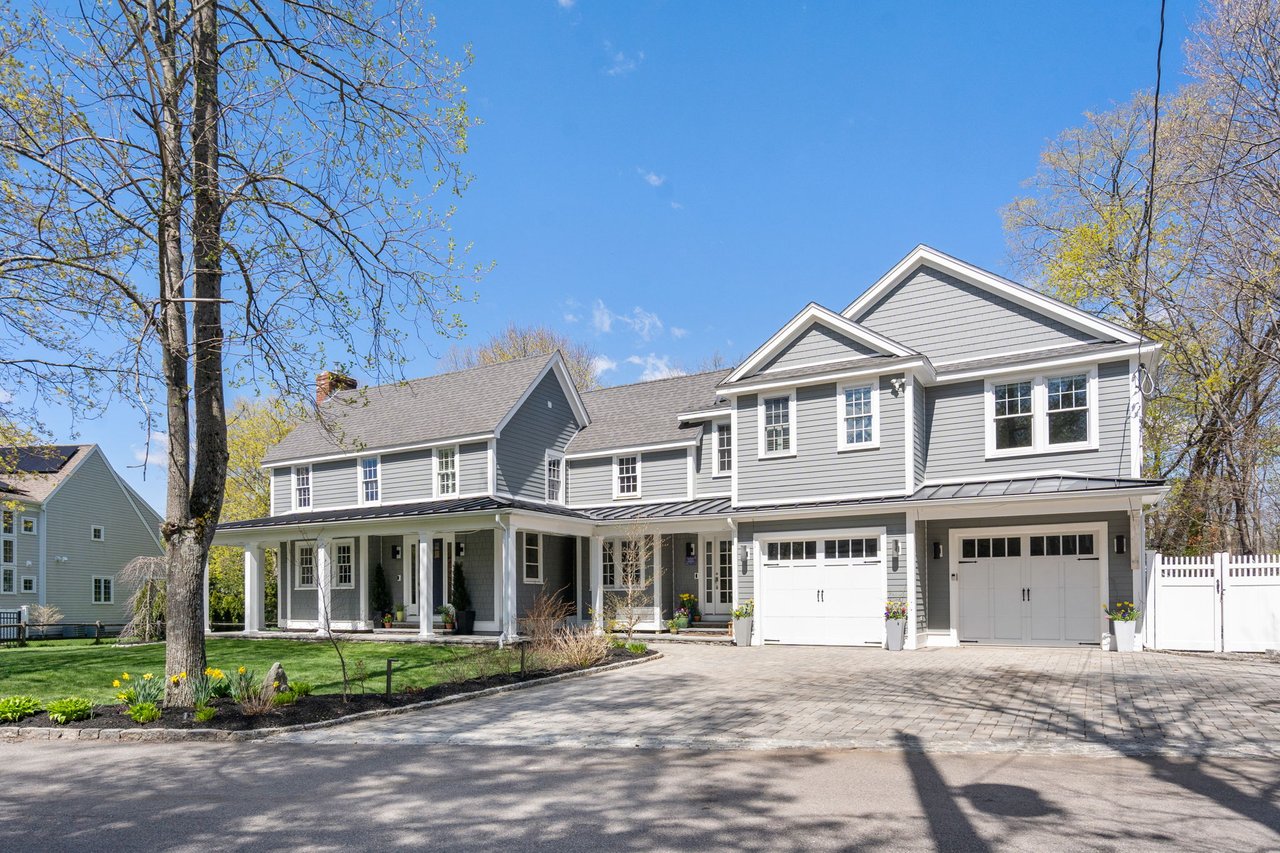
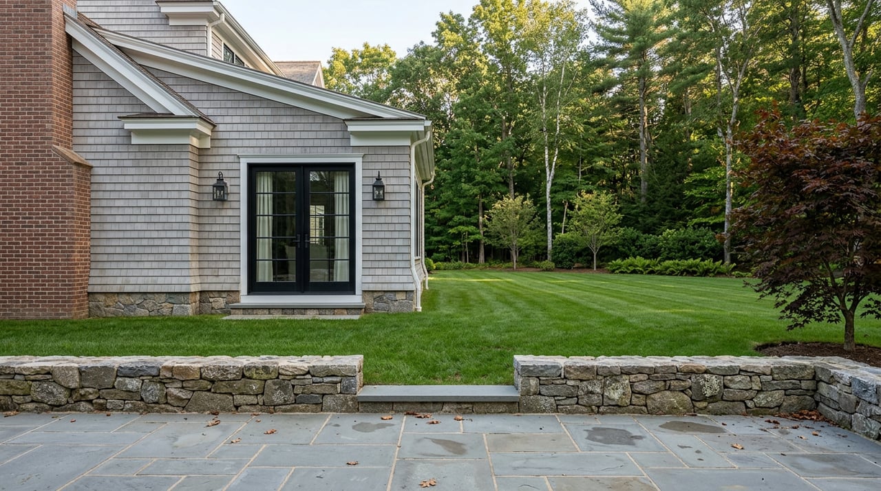
If you are deciding between neighborhoods, proximity to a named preserve can change your weekly routine. Living near Davis Farm, Hop Brook Marsh, or the edges of the Great Meadows corridor gives you fast access to wide‑open scenery and simple loops. Streets near trailheads often feel quieter, and spontaneous walks are easier to fit into a tight day.
Practical tradeoffs to check
Properties near conserved land come with a few realities. Federal refuges often restrict dogs and limit off‑trail travel. Some town parcels have small or seasonal parking areas. Utility work or rail‑trail construction can temporarily shift connections. The fix is simple. Verify details on the owner pages before you buy or before you plan a big family outing.
Value considerations
Academic research suggests that homes near passive parks and open space can see positive price effects. A broad review of property values near parks points to an 8 to 10 percent premium as a starting estimate for urban passive parks, while noting that results vary by park type, size, and nearby conditions. In practice, factors such as privacy, parking, lighting, and trail traffic all play a role. We help you weigh these details property by property.
Buyer checklist for trail‑adjacent homes
Use this quick list as you evaluate a home near Sudbury’s conservation lands:
- Confirm trailhead locations, parking, and any ADA access on the Town of Sudbury Conservation Lands list or the SVT trail maps.
- Review owner rules for pets, bikes, and seasonal closures. For federal sites, use the Great Meadows visitor page.
- Check trail surfaces, winter maintenance expectations, and nearby lighting.
- Note walk times versus drive times to your most‑used trailheads.
- Monitor active projects like the BFRT on the town’s Bruce Freeman Rail Trail update.
Sample day-in-the-life plans
A school day snapshot
- Morning: 25‑minute loop at Davis Farm on wide farm roads before the workday. Check the Davis Farm page for parking.
- Afternoon: Kid‑friendly nature stop at Hop Brook Marsh to watch for herons. Use the Hop Brook Marsh page for trailhead notes.
- Evening: Neighborhood stroll along connector paths for a low‑stress wind‑down.
A Saturday on the water
- Early: Paddle from the Great Meadows launch, then picnic by the river. Review current rules on the Great Meadows visitor page.
- Midday: Quick loop at a nearby town parcel to stretch legs between errands.
- Late: Sunset birdwatching walk to close the day.
Get involved: stewardship and volunteering
Sudbury’s trails stay welcoming because of active volunteers. From invasive‑species pulls to trail monitoring, there are recurring ways to help. The Town Conservation staff outlines stewardship roles and contacts on the Town conservation stewardship page. SVT also coordinates volunteers across its preserves, with details and property maps on the SVT trail maps. A monthly morning of volunteering can turn into one of your most grounding habits in town.
Plan your next step
Sudbury’s trail network is not just a weekend destination. It shapes how you relax, move, learn, and connect day to day. If you are weighing neighborhoods or a move across MetroWest, we can help you match a home to the green spaces you will use most and understand the value dynamics around them. Ready to explore homes near your favorite trailheads? Reach out to The Walsh Team Partners for a thoughtful, local strategy.
FAQs
Which Sudbury trails allow dogs?
- Rules vary by owner. Some town parcels allow dogs on leash, while federal refuge trails do not allow pets. Always check the specific property page before visiting.
Where do I find parking and ADA information for trailheads?
- The Town’s conservation land pages and SVT property maps list parking locations and any access notes. Review each site before you go.
What is the status of the Bruce Freeman Rail Trail in Sudbury?
- Sudbury has active design work and updates available through the Town’s planning department. Expect evolving connections as segments advance.
Are there kid‑friendly loops for short outings?
- Yes. Many preserves offer flat, wide paths and short loops that fit 20‑ to 40‑minute walks. Check each property’s map for suggested routes.
How do nearby trails affect home value in Sudbury?
- Research links proximity to passive open space with potential value premiums, but outcomes depend on factors like privacy, parking, lighting, and trail activity at the specific location.